33 · City guide
Mersin
History and sea on the Cilician coast
Mersin stretches along a coastline of about 320 km, from Tarsus at the edge of the Çukurova plain in the east to Cape Anamur in the west. Known in antiquity as Rough and Plain Cilicia, these lands were home to cities such as Soli Pompeiopolis, Elaiussa Sebaste, Korykos, Diokaisareia and Anemurion. A few kilometers inland from the coast are karst sinkholes such as Cennet-Cehennem (Heaven and Hell), and in the foothills of the Taurus Mountains, cool yaylas (highland pastures) such as Gözne and Çamlıyayla. Today a major port city, Mersin is also known for culinary specialties such as tantuni, cezerye and kerebiç.
Machine translated — This content was machine-translated and may differ from the original Turkish text.84
Places
0
Routes
0
Badges
Where shall we explore?
 Machine translated — This content was machine-translated and may differ from the original Turkish text.
History and archaeology
Adamkayalar
Silifke, Mersin
A mysterious site famous for Roman-period human reliefs carved into the sheer walls of a canyon.
 Machine translated — This content was machine-translated and may differ from the original Turkish text.
Archaeological site
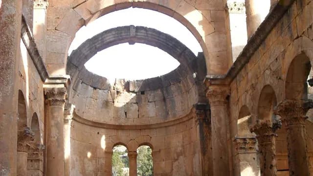
Akkale Archaeological Site
Erdemli, Mersin
An archaeological site near the shore known for a large two-story Byzantine-period building complex and its giant cisterns.
 Machine translated — This content was machine-translated and may differ from the original Turkish text.
Monastery
Alahan Monastery
Mut, Mersin
A monastery on the UNESCO Tentative List on a slope overlooking the Göksu valley, with 5th-century basilicas and rich stone decoration.
 Machine translated — This content was machine-translated and may differ from the original Turkish text.
Natural monument
Ana Ardıç Natural Monument
Çamlıyayla, Mersin
A monumental stinking juniper over 1,100 years old and 22 m tall at the foot of the Bolkar Mountains.
 Machine translated — This content was machine-translated and may differ from the original Turkish text.
Lighthouse
Anamur Lighthouse
Anamur, Mersin
A lighthouse built in 1911 on Cape Anamur, the southern tip of Anatolia.
- Machine translated — This content was machine-translated and may differ from the original Turkish text.
Museum
Anamur Museum
Anamur, Mersin
A district museum displaying works from the Anemurium excavations and local ethnographic objects.
 Machine translated — This content was machine-translated and may differ from the original Turkish text.
Ancient city
Anemurium Ancient City
Anamur, Mersin
An ancient city on Cape Anamur, the southern tip of Anatolia, famous for its necropolis of hundreds of tomb structures.
 Machine translated — This content was machine-translated and may differ from the original Turkish text.
Ancient city
Aphrodisias (Tisan) Ancient City
Silifke, Mersin
A quiet coastal ancient city on the Ovacık Peninsula, known for the remains of a church with a mosaic.
 Machine translated — This content was machine-translated and may differ from the original Turkish text.
Faith
Ashab-ı Kehf (Seven Sleepers) Cave
Tarsus, Mersin
A cave and the mosque beside it, associated with the story of the Seven Sleepers told in the Quran and in Christian tradition.
 Machine translated — This content was machine-translated and may differ from the original Turkish text.
Cave
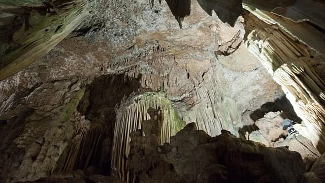
Astım (Dilek) Cave
Silifke, Mersin
A warm, humid cave known for its stalactites and stalagmites, whose air is believed to be good for asthma.
 Machine translated — This content was machine-translated and may differ from the original Turkish text.
Church
Ayatekla Archaeological Site
Silifke, Mersin
An underground church and basilica remains dedicated to St. Thecla, considered one of the first female martyrs of early Christianity.
 Machine translated — This content was machine-translated and may differ from the original Turkish text.
Nature park
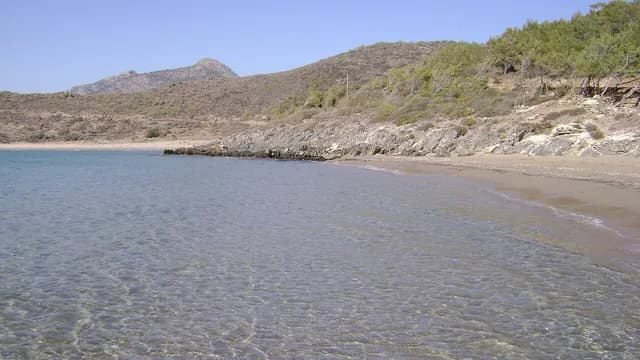
Aydıncık (İncekum) Nature Park
Aydıncık, Mersin
A nature park with a camping area among coves and pine forest west of Aydıncık.
 Machine translated — This content was machine-translated and may differ from the original Turkish text.
Church
Church of St. Paul (Tarsus)
Tarsus, Mersin
A church built in the 19th century, known for its ceiling frescoes and toured today as a memorial museum.
 Machine translated — This content was machine-translated and may differ from the original Turkish text.
Archaeological site
Çatıören and the Temple of Hermes
Erdemli, Mersin
A quiet ancient settlement on the hills north of Kızkalesi, known for the remains of a temple of Hermes.
 Machine translated — This content was machine-translated and may differ from the original Turkish text.
Cave
Cennet and Cehennem Sinkholes (Heaven and Hell)
Silifke, Mersin
Two giant karstic depressions, one reachable by steps and the other with sheer walls, and the cave-chapel at the bottom of Cennet.
 Machine translated — This content was machine-translated and may differ from the original Turkish text.
Castle
Dağlı Castle
Erdemli, Mersin
A small medieval mountain castle on the hills in the interior of Erdemli.
 Machine translated — This content was machine-translated and may differ from the original Turkish text.
Archaeological site
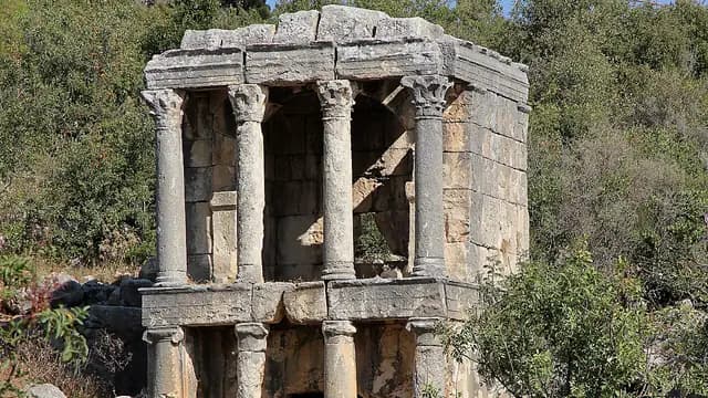
Demircili (Imbriogon) Monumental Tombs
Silifke, Mersin
Temple-shaped, two-story Roman-period monumental tombs on the Silifke–Uzuncaburç road.
 Machine translated — This content was machine-translated and may differ from the original Turkish text.
History and archaeology
Donuktaş
Tarsus, Mersin
One of the largest building remains in Anatolia, consisting of the concrete core of a giant Roman-period temple.
 Machine translated — This content was machine-translated and may differ from the original Turkish text.
Ancient city
Elaiussa Sebaste Ancient City
Erdemli, Mersin
A coastal city built on a peninsula that was once an island, notable for the remains of a theater, an agora and a Byzantine palace.
 Machine translated — This content was machine-translated and may differ from the original Turkish text.
Monument and statue
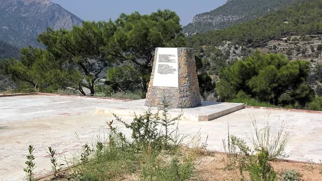
Frederick Barbarossa Monument
Silifke, Mersin
A monument to Emperor Barbarossa, who drowned in the Göksu during the Third Crusade.
- Machine translated — This content was machine-translated and may differ from the original Turkish text.
Paragliding
Gelincik Tepesi Paragliding Take-off Site
Yenişehir, Mersin
A paragliding take-off point on the hills northwest of Mersin, overlooking the city and the sea.
 Machine translated — This content was machine-translated and may differ from the original Turkish text.
Cave
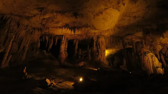
Gilindire (Aynalıgöl) Cave
Aydıncık, Mersin
A dripstone cave on a slope close to the sea, with a crystal-clear lake at its bottom.
 Machine translated — This content was machine-translated and may differ from the original Turkish text.
Lagoon
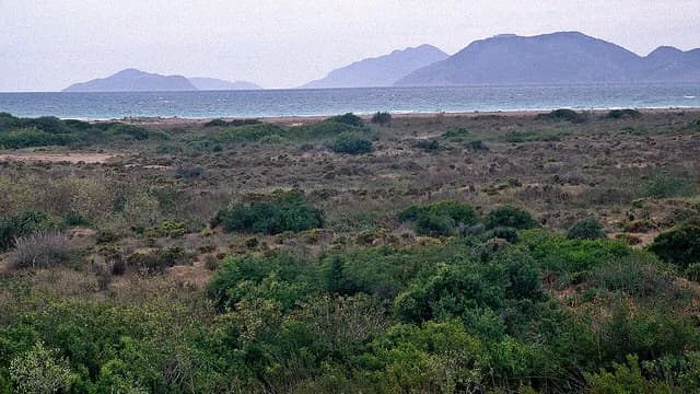
Göksu Delta
Silifke, Mersin
One of the most important bird areas of the Mediterranean, with the Akgöl and Paradeniz lagoons, dunes and reed beds.
 Machine translated — This content was machine-translated and may differ from the original Turkish text.
Birdwatching site
Göksu Delta Birdwatching Tower
Silifke, Mersin
A birdwatching tower overlooking the lagoons and reed beds of the Göksu Delta.
 Machine translated — This content was machine-translated and may differ from the original Turkish text.
Mound (höyük)
Gözlükule Mound (Höyük)
Tarsus, Mersin
Tarsus's oldest settlement mound, inhabited from the Neolithic Age to the Roman period.
 Machine translated — This content was machine-translated and may differ from the original Turkish text.
Yayla (highland pasture)
Gözne Highland (Yayla) and Castle
Toroslar, Mersin
An old summer resort settlement among pine forests north of Mersin, with a medieval castle on its hilltop.
 Machine translated — This content was machine-translated and may differ from the original Turkish text.
Nature
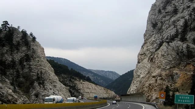
Gülek Pass (Cilician Gates)
Tarsus, Mersin
A historic mountain pass cutting through the Taurus Mountains, crossed by many armies from Alexander to the Crusaders.
 Machine translated — This content was machine-translated and may differ from the original Turkish text.
Castle
Gülek Castle
Tarsus, Mersin
A medieval castle on a high rock controlling the historic pass across the Taurus.
 Machine translated — This content was machine-translated and may differ from the original Turkish text.
Picnic area
Gümüşkum (100. Yıl) Picnic and Camping Area
Mezitli, Mersin
A pine grove in Mezitli Davultepe with a 1.8 km beach where sea turtles nest.
 Machine translated — This content was machine-translated and may differ from the original Turkish text.
Archaeological site
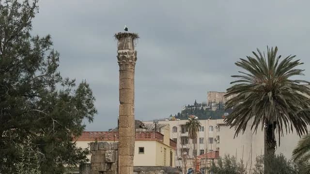
Temple of Jupiter (Zeus)
Silifke, Mersin
The remains of a Roman-period temple in central Silifke, with a single column still standing.
 Machine translated — This content was machine-translated and may differ from the original Turkish text.
Ancient city
Kanlıdivane (Kanytelis) Ancient City
Erdemli, Mersin
An impressive ancient settlement built around a deep karstic sinkhole, with its churches and monumental tombs.
 Machine translated — This content was machine-translated and may differ from the original Turkish text.
Nature park
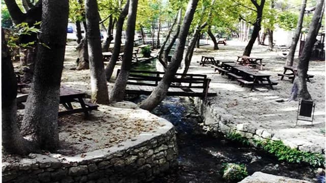
Karaekşi Nature Park
Mut, Mersin
A nature park within plane and Turkish pine forest along a stream flowing into the Göksu.
 Machine translated — This content was machine-translated and may differ from the original Turkish text.
Ancient city
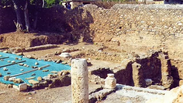
Kelenderis Ancient City
Aydıncık, Mersin
An ancient Phoenician–Samian colony at Aydıncık harbor, known for its famous mosaic depicting the harbor.
 Machine translated — This content was machine-translated and may differ from the original Turkish text.
Mound (höyük)
Kilise Tepe Mound (Höyük)
Mut, Mersin
A mound in the Göksu valley known for its layers stretching from the Early Bronze Age to Byzantium.
 Machine translated — This content was machine-translated and may differ from the original Turkish text.
Martyrs' memorial and battlefield
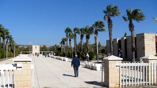
Cyprus Martyrs' Memorial (Memorial Forest)
Silifke, Mersin
A symbolic martyrs' memorial where a tree has been planted in the name of each of the martyrs of the 1974 Cyprus Peace Operation.
 Machine translated — This content was machine-translated and may differ from the original Turkish text.
Bazaar and arasta
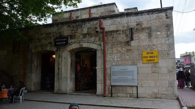
Kırkkaşık Bedesten
Tarsus, Mersin
A covered market built in the 16th century to provide income for the Ulu Mosque, used today as a handicrafts bazaar.
 Machine translated — This content was machine-translated and may differ from the original Turkish text.
Castle
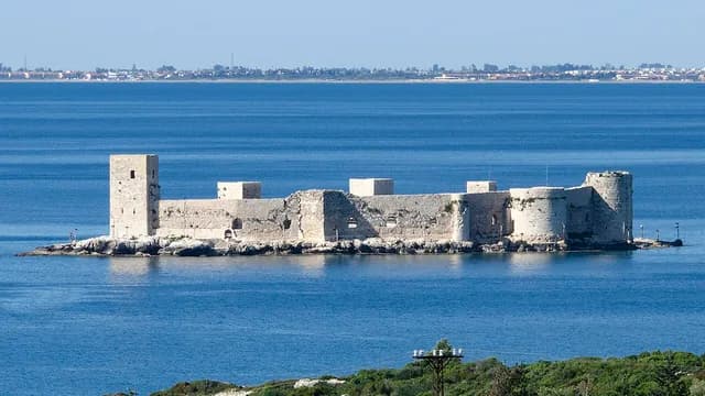
Kız Kalesi (Maiden's Castle / Sea Castle)
Erdemli, Mersin
A medieval sea castle built on an islet about 200 meters offshore, the symbol of Mersin.
 Machine translated — This content was machine-translated and may differ from the original Turkish text.
Beach
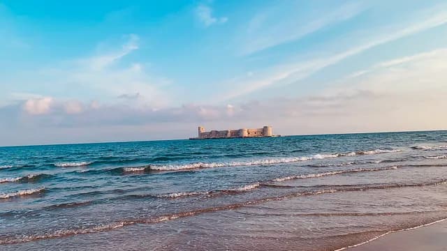
Kızkalesi Beach
Erdemli, Mersin
Mersin's best-known public beach, with fine sand and a shallow entry, facing the sea castle.
 Machine translated — This content was machine-translated and may differ from the original Turkish text.
History and archaeology
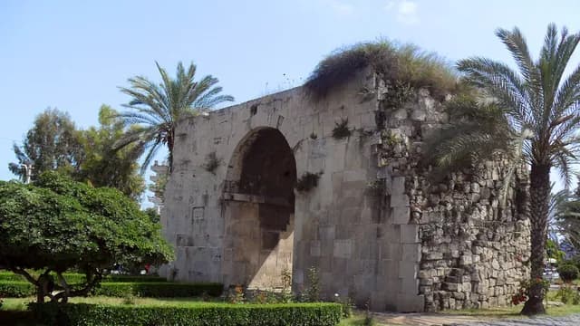
Cleopatra's Gate
Tarsus, Mersin
The single arched gate surviving from the ancient walls of Tarsus; associated with the legend of the meeting of Antony and Cleopatra.
- Machine translated — This content was machine-translated and may differ from the original Turkish text.
Natural monument
Koca Katran Natural Monument
Toroslar, Mersin
A monumental prickly juniper in the Taurus at an altitude of 1,875 m, 40 m tall and about 625 years old.
 Machine translated — This content was machine-translated and may differ from the original Turkish text.
Castle
Korykos Land Castle
Erdemli, Mersin
The coastal land castle of the ancient city of Korykos, directly opposite Kız Kalesi (Maiden's Castle).
 Machine translated — This content was machine-translated and may differ from the original Turkish text.
Nature park
Kuyuluk Nature Park
Mezitli, Mersin
A nature and picnic area close to the city, covered with Turkish pine and maquis in the foothills of the Taurus.
 Machine translated — This content was machine-translated and may differ from the original Turkish text.
Mosque
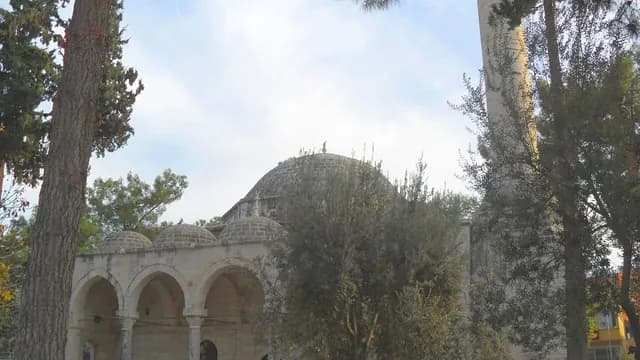
Laal Paşa Mosque
Mut, Mersin
A domed, arcaded historic mosque built in the 15th century in the Karamanid period.
 Machine translated — This content was machine-translated and may differ from the original Turkish text.
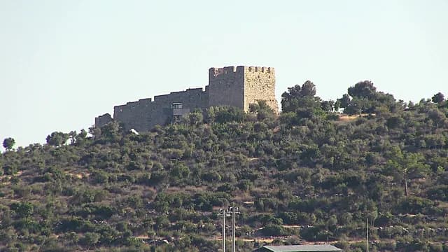
Castle
Liman Kalesi (Harbor Castle)
Silifke, Mersin
A medieval castle on the rocky cape on the shore west of Taşucu.
 Machine translated — This content was machine-translated and may differ from the original Turkish text.
Tomb (türbe)
Makam Mosque and Shrine of the Prophet Daniel
Tarsus, Mersin
A mosque housing the shrine attributed to the Prophet Daniel, beneath which Roman-period bridge remains can be seen.
 Machine translated — This content was machine-translated and may differ from the original Turkish text.
Castle
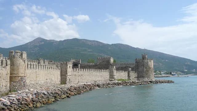
Mamure Castle
Anamur, Mersin
One of Türkiye's best-preserved medieval castles, right on the sea, with more than 30 bastions.
 Machine translated — This content was machine-translated and may differ from the original Turkish text.
Museum
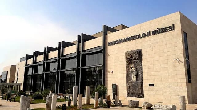
Mersin Archaeology Museum
Yenişehir, Mersin
The city's main museum, displaying Cilicia's finds from prehistory to Byzantium, from Yumuktepe to Soli.
 Machine translated — This content was machine-translated and may differ from the original Turkish text.
Museum
Mersin Atatürk House Museum
Akdeniz, Mersin
A historic mansion built in the late 19th century where Atatürk stayed on his visits to Mersin, which can be visited today as a museum.
 Machine translated — This content was machine-translated and may differ from the original Turkish text.
Lighthouse
Mersin Lighthouse
Yenişehir, Mersin
An octagonal lighthouse tower from 1880 at the mouth of the Efrenk Çayı, and a seaside promenade.
 Machine translated — This content was machine-translated and may differ from the original Turkish text.
Gallery
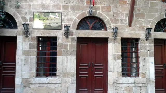
Mersin State Fine Arts Gallery
Akdeniz, Mersin
A state gallery opened in a historic Mersin house, hosting contemporary painting and sculpture exhibitions.
 Machine translated — This content was machine-translated and may differ from the original Turkish text.
Museum
Mersin City History Museum
Akdeniz, Mersin
A museum telling, with photographs, documents and objects, the story of Mersin's transformation from a small landing stage into a major port city.
 Machine translated — This content was machine-translated and may differ from the original Turkish text.
Cultural center
Mersin Cultural Center (Halkevi / People's House)
Akdeniz, Mersin
A building opened as a People's House in 1946, used today as an opera and cultural center.
 Machine translated — This content was machine-translated and may differ from the original Turkish text.
Church
Mersin Orthodox Church
Akdeniz, Mersin
A church built in the 19th century for the city's Greek Orthodox community, known for its wooden iconostasis and still open for worship.
 Machine translated — This content was machine-translated and may differ from the original Turkish text.
Mosque
Mersin Ulu Mosque (Grand Mosque)
Akdeniz, Mersin
The main mosque in the city center, in the middle of the bazaar, which rose with Mersin's modern urbanization.
 Machine translated — This content was machine-translated and may differ from the original Turkish text.
Castle
Meydancık Castle
Gülnar, Mersin
One of the oldest castles of Rough Cilicia, with layers stretching from the Hittite period to the Persian and Hellenistic ages.
 Machine translated — This content was machine-translated and may differ from the original Turkish text.
Mosque
Muğdat Mosque
Yenişehir, Mersin
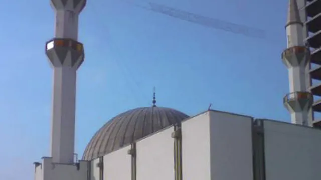
A large mosque opened for worship in the 1980s, one of the symbols of the Mersin skyline with its six minarets.
 Machine translated — This content was machine-translated and may differ from the original Turkish text.
Castle
Mut Castle
Mut, Mersin
A castle in central Mut, on the site of ancient Claudiopolis, repaired in the Karamanid period.
 Machine translated — This content was machine-translated and may differ from the original Turkish text.
Han and caravanserai
Mut Taşhan
Mut, Mersin
An 18th-century Ottoman han, used today as a market place for women producers.
 Machine translated — This content was machine-translated and may differ from the original Turkish text.
Archaeological site
Nagidos Ancient City
Bozyazı, Mersin
An ancient port city on the Paşabeleni hill on the Bozyazı coast, founded by colonists from Samos.
 Machine translated — This content was machine-translated and may differ from the original Turkish text.
Castle
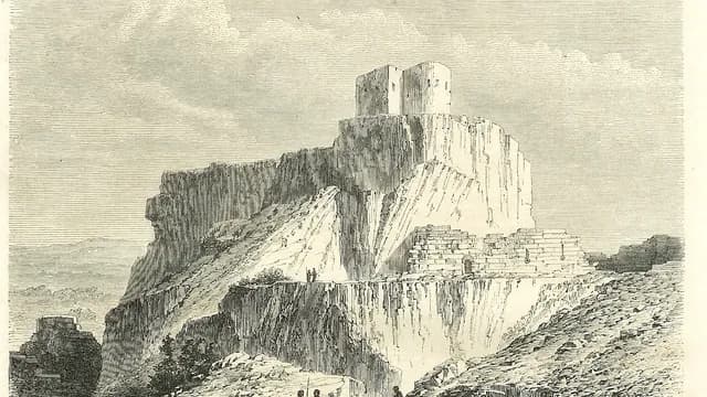
Namrun (Lampron) Castle
Çamlıyayla, Mersin
One of the important castles of the Armenian Kingdom of Cilicia, on the rocky hill above Çamlıyayla.
 Machine translated — This content was machine-translated and may differ from the original Turkish text.
Museum
Narlıkuyu Mosaic Museum
Silifke, Mersin
A small museum where the 'Three Graces' mosaic of a Roman bath is preserved in situ.
 Machine translated — This content was machine-translated and may differ from the original Turkish text.
Aqueduct and cistern
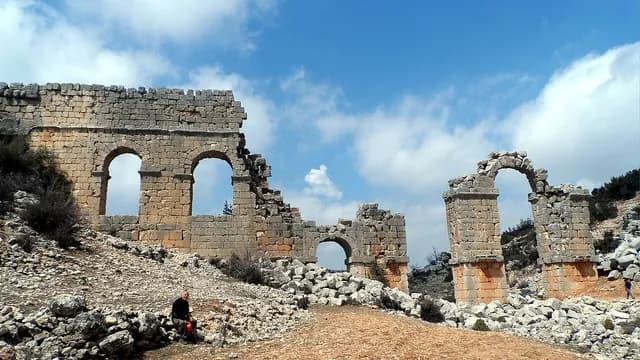
Olba Aqueduct
Silifke, Mersin
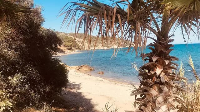
A two-story Roman aqueduct 25 m high, built in 199 in the time of Septimius Severus.
 Machine translated — This content was machine-translated and may differ from the original Turkish text.
Nature park
Pullu Nature Park
Anamur, Mersin
A picnic and seaside area within a pine forest between the shore and the highway, east of Anamur.
 Machine translated — This content was machine-translated and may differ from the original Turkish text.
Monument and statue
Refah Martyrs' Monument
Akdeniz, Mersin
A seaside monument commemorating those who lost their lives on the Refah steamship, torpedoed in 1941.
- Machine translated — This content was machine-translated and may differ from the original Turkish text.
Hammam (Turkish bath)
Şahmaran Hamamı (Şahmaran Bath)
Tarsus, Mersin
Tarsus's historic hamam, referred to as the place where the Şahmaran legend takes place.
 Machine translated — This content was machine-translated and may differ from the original Turkish text.
Faith
St. Paul's Well
Tarsus, Mersin
An ancient well believed to be in the courtyard of St. Paul's house; a stop for Christian pilgrims.
 Machine translated — This content was machine-translated and may differ from the original Turkish text.
Church
Saint Anthony Latin Catholic Church
Akdeniz, Mersin
A Catholic church built in the second half of the 19th century, whose bell tower is also known as the Mersin Clock Tower.
 Machine translated — This content was machine-translated and may differ from the original Turkish text.
Castle
Silifke Castle
Silifke, Mersin
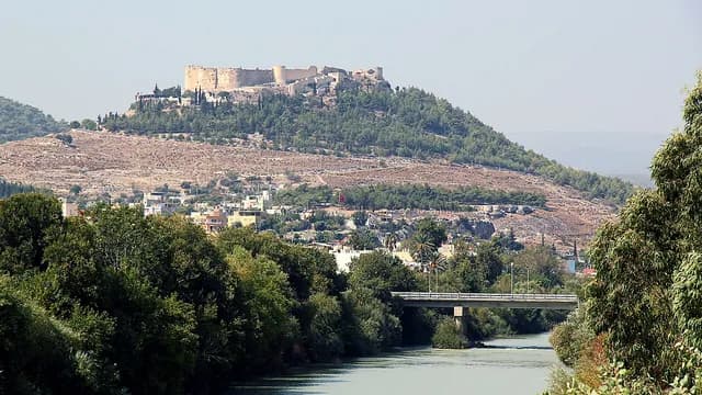
A large medieval castle on the hill overlooking Silifke and the Göksu valley.
 Machine translated — This content was machine-translated and may differ from the original Turkish text.
Museum
Silifke Museum
Silifke, Mersin
An archaeology and ethnography museum displaying statues, coins and ceramics from the ancient cities of the region.
 Machine translated — This content was machine-translated and may differ from the original Turkish text.
Bridge
Silifke Stone Bridge (Taşköprü)
Silifke, Mersin
A stone bridge over the Göksu River with origins going back to the Roman period, still in use.
 Machine translated — This content was machine-translated and may differ from the original Turkish text.
Castle
Softa Castle
Bozyazı, Mersin
An Armenian-period castle on a steep hill overlooking the sea, east of Bozyazı.
 Machine translated — This content was machine-translated and may differ from the original Turkish text.
Ancient city
Soli Pompeiopolis Ancient City
Mezitli, Mersin
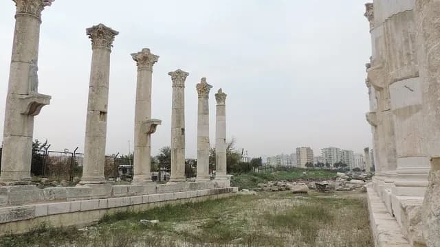
One of the important coastal cities of Cilicia, with its colonnaded street and ancient harbor.
- Machine translated — This content was machine-translated and may differ from the original Turkish text.
Nature park
Talat Göktepe (Erdemli Pine Grove) Nature Park
Erdemli, Mersin
A 26-ha pine grove west of Erdemli stretching to the beach; a nature park with a camping area.
 Machine translated — This content was machine-translated and may differ from the original Turkish text.
Historic mansion
Historic Tarsus Houses (Old Tarsus)
Tarsus, Mersin
A historic neighborhood fabric of restored 19th-century stone houses around St. Paul's Well.
 Machine translated — This content was machine-translated and may differ from the original Turkish text.
Archaeological site
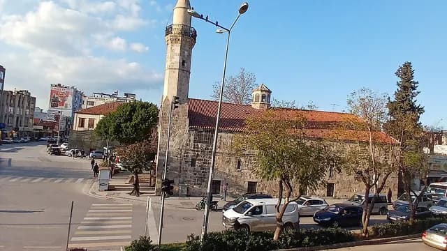
Tarsus Ancient Roman Road
Tarsus, Mersin
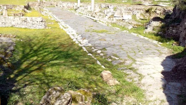
A Roman-period street paved with basalt blocks, uncovered by excavations in the town center.
 Machine translated — This content was machine-translated and may differ from the original Turkish text.
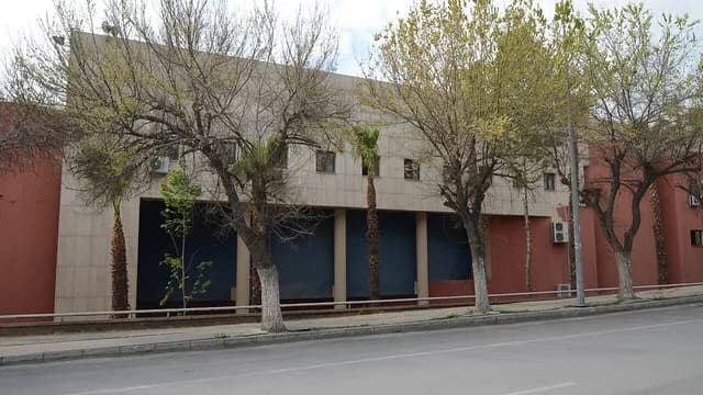
Mosque
Tarsus Eski Cami (Old Mosque / Kilise Camii)
Tarsus, Mersin
The city's oldest mosque, created by converting a 12th-century Gothic church into a mosque.
 Machine translated — This content was machine-translated and may differ from the original Turkish text.
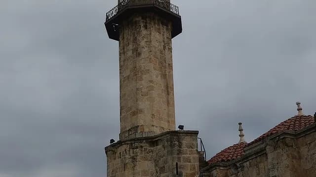
Museum
Tarsus Museum
Tarsus, Mersin
A district museum displaying works from Gözlükule and the surrounding excavations.
 Machine translated — This content was machine-translated and may differ from the original Turkish text.
Clock tower
Tarsus Clock Tower
Tarsus, Mersin
A stone clock tower dated to the late 19th century, rising right next to the Ulu Mosque.
 Machine translated — This content was machine-translated and may differ from the original Turkish text.
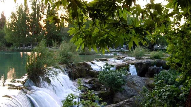
Waterfall
Tarsus Waterfall
Tarsus, Mersin
A waterfall where the Berdan Çayı pours over rocky steps within the town, its surroundings turned into a recreation area.
 Machine translated — This content was machine-translated and may differ from the original Turkish text.
Mosque
Tarsus Ulu Mosque (Grand Mosque)
Tarsus, Mersin
A historic mosque with a large arcaded courtyard, built in the 16th century in the Ramazanid period.
 Machine translated — This content was machine-translated and may differ from the original Turkish text.
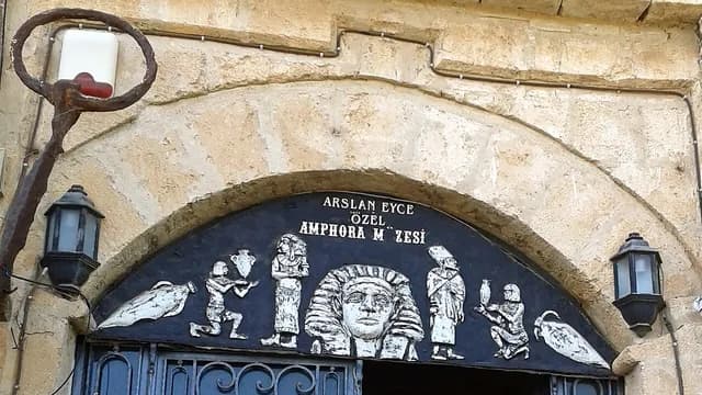
Museum
Taşucu Aslan Eyce Amphora Museum
Silifke, Mersin
A private museum displaying amphorae from different periods recovered from the Mediterranean.
 Machine translated — This content was machine-translated and may differ from the original Turkish text.
Ancient city
Uzuncaburç (Diocaesarea) Ancient City
Silifke, Mersin
The sacred center of the Olba Kingdom, with the Temple of Zeus Olbios, its theater and five-story tower.
 Machine translated — This content was machine-translated and may differ from the original Turkish text.
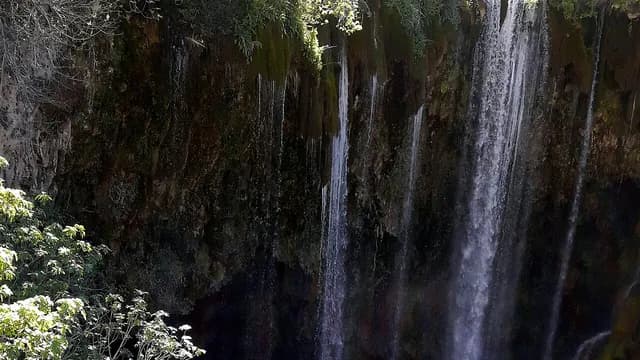
Waterfall
Yerköprü Waterfall (Yerköprü Çağlayanı)
Mut, Mersin
A nature park where the Göksu cascades beneath a natural stone bridge in a narrow canyon.
 Machine translated — This content was machine-translated and may differ from the original Turkish text.
Mound (höyük)
Yumuktepe Mound (Höyük)
Toroslar, Mersin
A mound that is one of Anatolia's oldest continuous settlements, with layers going back to about 6300 BC.
Practical information
Machine translated — This content was machine-translated and may differ from the original Turkish text.- Tip
- Most ancient cities are in open areas; in summer, go early in the morning and bring a hat and water.
- Climate
- Typical Mediterranean climate: hot, humid summers and mild, rainy winters.
- Best season
- April–June and September–November; in summer the coast is very hot and humid, while the yaylas are cool.
- Trip length
- 2 days for the center + Tarsus, 2 days for the Kızkalesi–Silifke route, and 1–2 days for the Mut–Anamur route are recommended.
- Getting there
- Çukurova International Airport (Tarsus) is about 40 min from the city center; the Adana–Mersin commuter train and the D400 coastal road connect the districts.