
Maçka: the Altındere Valley and Sümela
A route through Altındere Valley National Park, covered in oriental spruce forest, visiting Sümela Monastery, with its rock church and frescoes set against a sheer cliff, and the nearby Aya Varvara Church; it ends at Hamsiköy, an old Silk Road stopover village at the foot of Mount Zigana, famous for its sütlaç (rice pudding).
- Estimated duration
- ~4 h
- Straight-line distance (estimate)
- ~17 km
- Getting around
- By car
- Stops
- 4 stops
Duration and distance are estimates. Distance is the straight-line sum between stops; the actual road is longer. Check with a maps app before you set off.
Safety and caution
Route map
Numbers show the order of stops; the dashed line is a straight-line link between stops, not the actual road.
Map data © OpenStreetMap contributors (ODbL).
Stops
- 1
- 2
~1.4 km from the previous stop (straight line)
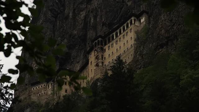
Monastery
Sümela Monastery
Maçka, Trabzon
~1.39 km from the previous stop as the crow flies
View place - 3
~350 m from the previous stop (straight line)

Church
Aya Varvara Church
Maçka, Trabzon
~0.35 km from the previous stop as the crow flies
View place - 4
~15 km from the previous stop (straight line)

Village and rural life
Hamsiköy
Maçka, Trabzon
~14.96 km from the previous stop as the crow flies
View place

More routes in Trabzon
See all CultureMachine translated — This content was machine-translated and may differ from the original Turkish text.
Trabzon
From Of to Uzungöl
A route heading inland from the pink cut-stone Çakıroğlu İsmail Ağa Mansion on a hill overlooking the sea: the tile-roofed Hapsiyaş Bridge over the Solaklı Stream, the village house where President Cevdet Sunay was born, Uzungöl, formed by a landslide, and the Dursun Ali İnan Museum, set up in a traditional wooden house.
5 stops ~4 h 30 minBy car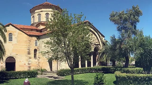 City walkMachine translated — This content was machine-translated and may differ from the original Turkish text.
Trabzon
A day in Trabzon: Ortahisar
A walk that begins at Hagia Sophia, a 13th-century building known for its frescoes, and continues into the old town within the walls: the Gülbahar Hatun Mosque and Tomb, the Ortahisar Fatih Büyük Mosque, converted from the old church where the Komnenos emperors were crowned, the six-arched Tabakhane Bridge, the Çarşı Mosque in the middle of the historic bazaar and the Trabzon Museum in the Kostaki Mansion.
6 stops ~4 hWalking