
From Neolithic villages to the crater lakes of Karapınar
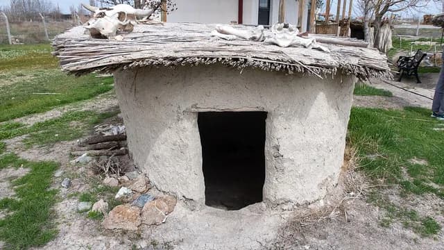
A driving route from Boncuklu Höyük, considered a forerunner of Çatalhöyük, with its reconstructed houses, and UNESCO-listed Çatalhöyük with its houses entered through the roof, to Karapınar; it ends at the mosque of the complex built in the name of Prince Selim, Meke Lake with a volcanic cone rising in its center, and Acıgöl with its bitter, salty water.
- Estimated duration
- ~5 h 45 min
- Straight-line distance (estimate)
- ~86 km
- Getting around
- By car
- Stops
- 5 stops
Duration and distance are estimates. Distance is the straight-line sum between stops; the actual road is longer. Check with a maps app before you set off.
Safety and caution
Route map
Numbers show the order of stops; the dashed line is a straight-line link between stops, not the actual road.
Map data © OpenStreetMap contributors (ODbL).
Stops
- 1
- 2
~10 km from the previous stop (straight line)

Mound (höyük)
Çatalhöyük Neolithic Town
Çumra, Konya
~10.08 km as the crow flies from the previous stop
View place - 3
~64 km from the previous stop (straight line)

Mosque
Sultan Selim Mosque and Complex
Karapınar, Konya
~63.79 km as the crow flies from the previous stop
View place - 4
~8.8 km from the previous stop (straight line)

Natural monument
Meke Lake
Karapınar, Konya
~8.76 km as the crow flies from the previous stop
View place - 5
~3.9 km from the previous stop (straight line)
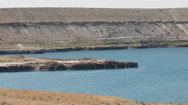
Lake
Acıgöl Crater Lake
Karapınar, Konya
~3.85 km as the crow flies from the previous stop
View place
More routes in Konya
See all HistoryMachine translated — This content was machine-translated and may differ from the original Turkish text.
Konya
Hittite and Seljuk traces around Beyşehir Lake
A driving route from Kubadabad, the lakeside summer palace of Alâeddin Keykubad I, to the Hittite sacred water monument of Eflatunpınar; after the wooden-columned Eşrefoğlu Mosque and the Taşköprü (Stone Bridge), which releases the lake's water onto the plain, it ends at Fasıllar, the unfinished Hittite Storm God monument lying on a hillside.
5 stops ~4 h 30 minBy car City walkMachine translated — This content was machine-translated and may differ from the original Turkish text.
Konya
A day in Konya: from Mevlâna to Alâeddin Hill
A walking route from the green-domed Mevlâna Museum and the adjacent Selimiye Mosque, built by Selim II, to the shrine tomb of Şems-i Tebrîzî, then to the Karatay Madrasa with its star-patterned tiled dome; it ends at the Alâeddin Mosque, which houses the kümbet of the Seljuk sultans, and the İnce Minareli Madrasa with its carved portal.
6 stops ~4 h 15 minWalking