History and archaeology / Aqueduct and cistern
İncekaya Aqueduct
Safranbolu, Karabük
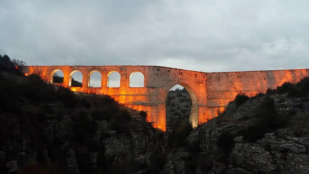
A historic aqueduct over the Tokatlı Canyon, 116 meters long and reaching a height of 60 meters.
Safety warning
Its story
The İncekaya Aqueduct is over the Tokatlı Canyon north of Safranbolu and was built to carry water to the town. Academic studies show that the structure was put back into use after a comprehensive repair during the grand vizierate of İzzet Mehmet Paşa (1794–1798). The aqueduct, built of rubble stone and Horasan mortar, consists of one main arch and five supporting arches; it is 116 meters long, and its highest point over the canyon is 60 meters. It is possible to cross the canyon by walking along the top of the aqueduct, whose width varies between 1.10 and 2.20 meters.
Key facts
- Height
- 60 m
- Length
- 116 m
- Getting there
- North of Safranbolu, village of İncekaya
Trip purpose
- Photography
- Hiking
Location
41.28213, 32.68504
Where to eat nearby
No food & drink venues listed nearby.
Map data: © OpenStreetMap contributors; Overture Maps
Reviews
No approved reviews yet. Reviews are written in the app after a visit.
Source: Web derlemesi (doğrulanmalı): https://tr.wikipedia.org/wiki/%C4%B0ncekaya_Su_Kemeri | https://karabuk.ktb.gov.tr/TR-63758/magara-ve-kanyonlar.html | https://www.openstreetmap.org/?mlat=41.282126&mlon=32.685039#map=17/41.282126/32.685039