
From Tekkeköy to Terme
A route heading east from the Tekkeköy Caves, which bear traces of the Hittites and the Bronze Age: the 10-arch Çarşamba Bridge over the Yeşilırmak, the Göğceli Mosque, built of nail-free interlocking timber, the Simenit and Akgöl birdwatching area, linked by channels, and Miliç Beach, where the pine forest meets the sand.
- Estimated duration
- ~5 h 15 min
- Straight-line distance (estimate)
- ~59 km
- Getting around
- By car
- Stops
- 5 stops
Duration and distance are estimates. Distance is the straight-line sum between stops; the actual road is longer. Check with a maps app before you set off.
Safety and caution
Route map
Numbers show the order of stops; the dashed line is a straight-line link between stops, not the actual road.
Map data © OpenStreetMap contributors (ODbL).
Stops
- 1
- 2
~22 km from the previous stop (straight line)
Bridge
Historic Çarşamba Bridge
Çarşamba, Samsun
~21.95 km from the previous stop as the crow flies
View place - 3
~1.6 km from the previous stop (straight line)
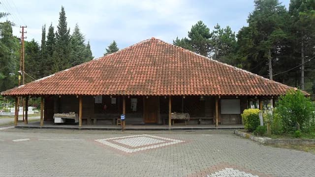
Mosque
Göğceli Mosque
Çarşamba, Samsun
~1.61 km from the previous stop as the crow flies
View place - 4
~19 km from the previous stop (straight line)

Birdwatching site
Simenit and Akgöl (Gölyazı Lakes)
Terme, Samsun
~19.16 km from the previous stop as the crow flies
View place - 5
~16 km from the previous stop (straight line)
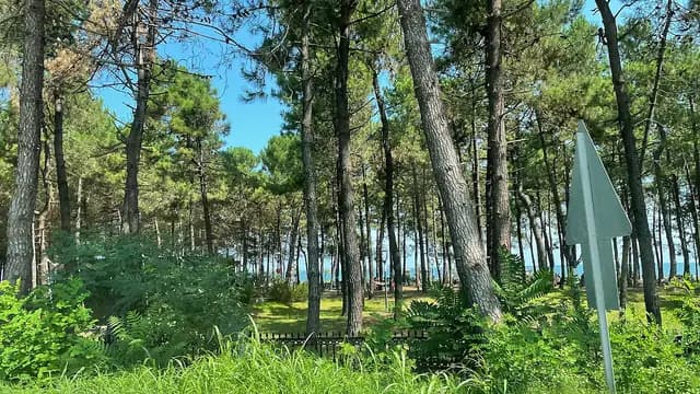
Beach
Miliç Beach
Terme, Samsun
~16.16 km from the previous stop as the crow flies
View place

