Nature / Nature park
Hamsilos Nature Park
Merkez, Sinop
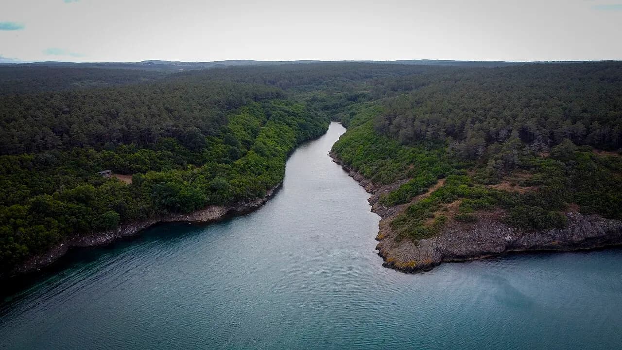
A fjord-like cove near İnceburun, formed where a stream reaches the sea, and a nature park protecting the forests around it.
Safety warning
Its story
Hamsilos is a narrow sea inlet reaching 300–400 meters inland at the mouth of the Deveci Deresi (Deveci Stream). Although it is popularly called a fjord, it is in fact not of glacial origin but a ria-type coast formed when the sea, rising after the last glacial period, flooded the stream valley. The surroundings of the cove become more forested further in, and its calm water is suitable for swimming. Together with the Akliman area, an area of about 68 hectares was declared a nature park in 2007. It is about 14 km from central Sinop and about 10 km from İnceburun, Türkiye's northernmost point.
Key facts
- Area
- About 68 ha
- Declared
- 2007
- Admission
- Paid (seasonal)
- Getting there
- Sinop–Akliman road
Trip purpose
- Photography
- Day trip
- Hiking
Location
42.05600, 35.04769
Reviews
No approved reviews yet. Reviews are written in the app after a visit.
Source: Web derlemesi (doğrulanmalı): https://tr.wikipedia.org/wiki/Hamsilos | https://sinop.ktb.gov.tr/TR-400769/korunan-doga-alanlari.html | https://www.openstreetmap.org/?mlat=42.055996&mlon=35.047693#map=17/42.055996/35.047693