Nature / National park
Kaçkar Mountains National Park (Upper Kavrun)
Çamlıhemşin, Rize
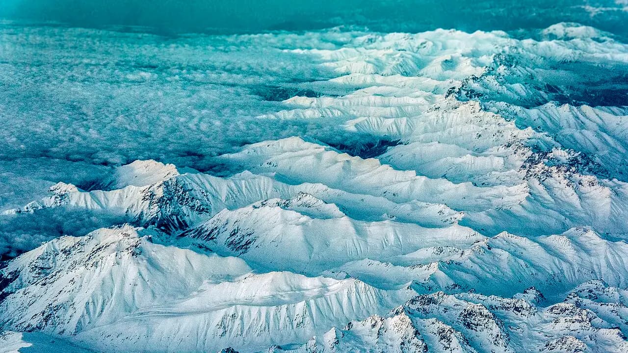
The Kaçkar Mountains National Park with its glacial lakes and endemic plants; on the Rize side, the Upper Kavrun Highland is the base camp for summit hikes.
Safety warning
Its story
The Kaçkar Mountains National Park was declared in 1994, and most of its area of about 51,550 hectares is in the Çamlıhemşin district. In the park, shaped by glacial valleys and many glacial lakes, thousands of plant taxa have been recorded, a significant part of which have been found to be endemic; mammals such as bear, wolf, lynx and wild goat live here. On the Rize side, the northern routes heading for the summit (3,937 m) start from the Upper Kavrun Highland (Yukarı Kavrun Yaylası), at an altitude of about 2,300 m, reached from Ayder by a dirt road. Kavrun is used as the climbers' base camp; it is said that mules can be hired to carry loads. The paths running from the highland to the glacial lakes and passes are among Türkiye's best-known trekking routes.
Key facts
- Season
- July–September
- Status
- National park (1994)
- Entry point
- Upper Kavrun Highland (about 2,300 m)
- Highest point
- Kaçkar Dağı, 3,937 m
Trip purpose
- Seasonal
- Photography
- Hiking
Location
40.88258, 41.13114
Where to eat nearby
No food & drink venues listed nearby.
Map data: © OpenStreetMap contributors; Overture Maps
Reviews
No approved reviews yet. Reviews are written in the app after a visit.
Source: Web derlemesi (doğrulanmalı): https://www.tarimorman.gov.tr/DKMP/Menu/27/Milli-Parklar | https://tr.wikipedia.org/wiki/Kaçkar_Dağları_Millî_Parkı | https://www.ktb.gov.tr/EN-99396/rize-highlands.html | https://www.openstreetmap.org/node/320969688