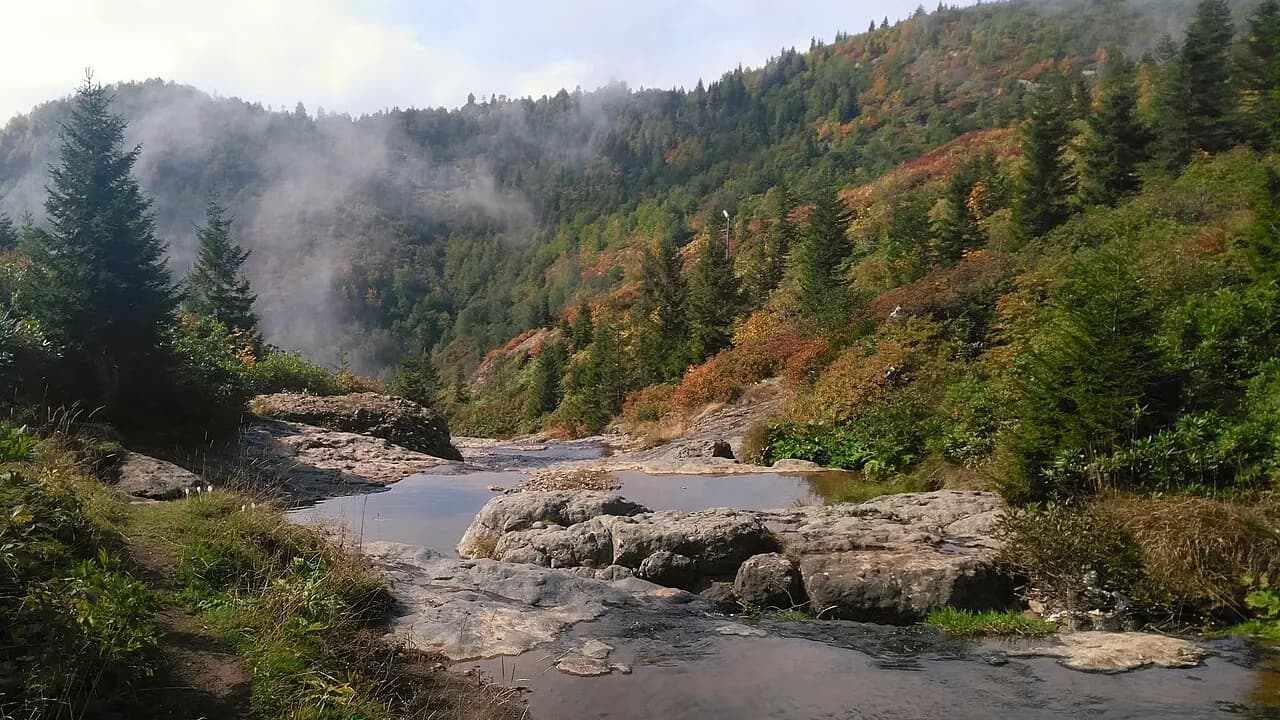
Nature / Summit
Sis Dağı (Mount Sis)
Çanakçı, Giresun
The 2,182-meter highest peak of the Aladağ range; a festival is held in July on the Sis Dağı Highland near the summit.
Safety warning
Its story
Sis Dağı, on the borders of Giresun's Görele and Eynesil districts and Trabzon's Şalpazarı district, is the highest point of the Aladağlar. The Sis Dağı Highland, at about 1,950 meters near the summit, has been declared a tourism center. The snow on the mountain does not melt until July; in July the Sis Dağı Festival is held on the highland with people coming from the surrounding villages.
Key facts
- Height
- 2,182 m
- Highland
- About 1,950 m
- Best period
- July–September
Trip purpose
- Seasonal
- Photography
- Hiking
Location
40.88437, 39.10127
Where to eat nearby
No food & drink venues listed nearby.
Map data: © OpenStreetMap contributors; Overture Maps
Reviews
No approved reviews yet. Reviews are written in the app after a visit.
Source: Web derlemesi (doğrulanmalı): https://tr.wikipedia.org/wiki/Sis_Da%C4%9F%C4%B1 | https://giresun.ktb.gov.tr/TR-217082/turizm-merkezleri.html | https://www.openstreetmap.org/node/1999079678 | https://www.wikidata.org/wiki/Q6923703