Nature / Lake
Lake Hazar
Sivrice, Elazığ
A tectonic lake formed on the East Anatolian Fault Line, considered one of the sources of the Tigris, known for its beaches, boat tours and the submerged 'Sunken City'.
Safety warning
Its story
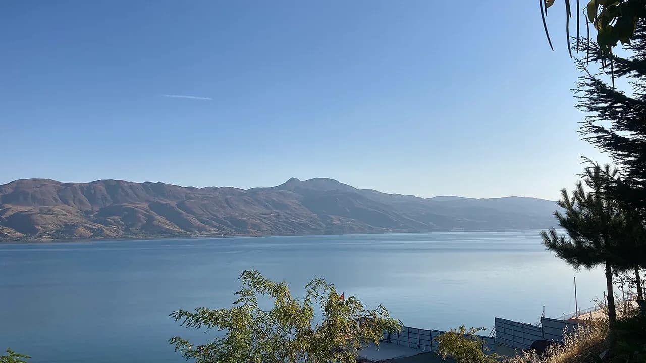
Lake Hazar (Gölcük) is a tectonic lake set in the depression formed along the East Anatolian Fault Line, stretching about 20 km in a southwest–northeast direction. About 1,250 meters above sea level, it is surrounded by the Mastar Mountains to the north and the Hazarbaba Mountains to the south; although its depth is given differently in different measurements, it is considered one of Türkiye's deep lakes. The area around the lake was declared the Lake Hazar Nature Park by DKMP in 2011 and is also registered as a wetland of national importance. Its shores, Elazığ's summer resort, have beaches and picnic areas; boat tours go to the islets and to the Sunken City (Church Island), protected since the 1990s. The Sunken City is known to contain medieval church and settlement remains. The lake is also an important resting area for birds.
Key facts
- Period
- Natural lake; Nature Park 2011
- Admission
- Open area
- Getting there
- About 25–30 km southeast of Elazığ, Sivrice
- Visit duration
- Half a day
Trip purpose
- Photography
- Camping
- Day trip
- Traveling with kids
Location
38.44222, 39.30944
Where to eat nearby
No food & drink venues listed nearby.
Map data: © OpenStreetMap contributors; Overture Maps
Reviews
No approved reviews yet. Reviews are written in the app after a visit.
Source: Web derlemesi (doğrulanmalı): https://tr.wikipedia.org/wiki/Hazar_Gölü | https://goturkiye.com/elazig/touch | https://www.tarimorman.gov.tr/DKMP/Menu/28/Tabiat-Parklari | https://www.wikidata.org/wiki/Q49278229