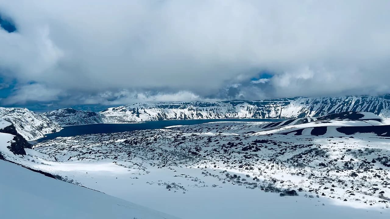
Nature / Lake
Nemrut Crater Lake
Ahlat, Bitlis
Türkiye's largest crater lake, in the caldera of the Nemrut volcano at an elevation of about 2,250 m; access via Tatvan.
Safety warning
Its story
The crescent-shaped lake covers the western half of the caldera formed when the summit of Mount Nemrut collapsed after major eruptions. Its average depth is around 100 meters, and 155 meters has been measured at its deepest point. Its waters are cold and fresh; it has no visible outflow. The caldera also contains the smaller Lake Ilı and seasonal lakes; the hot water outlets and steam vents on the shore are a reminder that the volcano is still dormant. Historical records mention an eruption around 1441. In summer many visitors picnic on the lakeshore and walk along its rocky shores. The information point, picnic and camping area on the northern shore where visitors arrive lie within the Ahlat district boundary; access, however, is via the road climbing from Tatvan to the caldera rim and descending to the lakeshore.
Key facts
- Best time
- June–October
- Elevation
- About 2,250 m
- Getting there
- About 25 km from Tatvan, caldera road
- Visit duration
- Half a day
Trip purpose
- Seasonal
- Photography
- Day trip
- Hiking
Location
38.63889, 42.24612
Where to eat nearby
No food & drink venues listed nearby.
Map data: © OpenStreetMap contributors; Overture Maps
Reviews
No approved reviews yet. Reviews are written in the app after a visit.
Source: Web derlemesi (doğrulanmalı): https://tr.wikipedia.org/wiki/Nemrut_G%C3%B6l%C3%BC | https://tr.wikipedia.org/wiki/Nemrut_Da%C4%9F%C4%B1_(Bitlis) | https://en.wikipedia.org/wiki/Lake_Nemrut | https://goturkiye.com/bitlis/see | https://www.openstreetmap.org/node/11917321770