
The Ganos coast and vineyards
From the viewpoint and stone-house village of Uçmakdere to Gaziköy, which bears the name of ancient Ganos, from the Hora Lighthouse in Hoşköy to the Mürefte vineyards and the Şarköy shore.
- Estimated duration
- ~7 h
- Straight-line distance (estimate)
- ~34 km
- Getting around
- By car
- Stops
- 6 stops
Duration and distance are estimates. Distance is the straight-line sum between stops; the actual road is longer. Check with a maps app before you set off.
Safety and caution
Route map
Numbers show the order of stops; the dashed line is a straight-line link between stops, not the actual road.
Map data © OpenStreetMap contributors (ODbL).
Stops
- 1
- 2
~2.7 km from the previous stop (straight line)

Village and rural life
Uçmakdere
Şarköy, Tekirdağ
View place - 3
~6.3 km from the previous stop (straight line)
Village and rural life
Gaziköy (Ganos)
Şarköy, Tekirdağ
View place - 4
~5.3 km from the previous stop (straight line)

Lighthouse
Hora Lighthouse (Hoşköy)
Şarköy, Tekirdağ
View place - 5
~6.6 km from the previous stop (straight line)
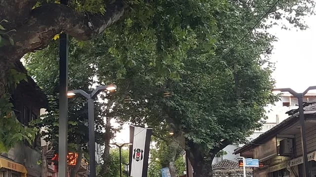
Village and rural life
Mürefte and the Vineyard Route
Şarköy, Tekirdağ
View place - 6
~13 km from the previous stop (straight line)

Beach
Şarköy Coast
Şarköy, Tekirdağ
View place

